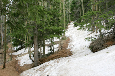
Great Sand Dunes National Park
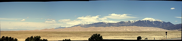
We went to Great Sand Dunes National Park yesterday, and it was pretty damn cool. Click on any of these pictures or here for a many more. We stayed the night in Pueblo Saturday night (interesting town). It seemed deserted for some reason, who knows. The historic district had a bunch of redone old buildings right down to repainting the advertisements you always see faded away into the bricks on these sorts of buildings. That morning we drove down to the dunes through La Veta Pass into the San Louis valley. This remined me of rural Wyoming or Montana, deserted and really pretty. Blanca Peak and Mount Lindsey dominated the landscape rising from to 14,000 feet from the valley floor. After arriving at the dunes, we enjoyed a full day of walking around in Medeno Creek, frollicking, getting sunburn, jumping off of dunes, etc, etc.. After eating a a Navajo Taco at the nearby suprisingly non-sketchy restaurant we returned to the dunes to climb the second highest one, High Dune, before s...