Fun
So I did a similar loop to last time in North Cheyenne Canyon. or Canon with the little tilda thingy above the "n". It was a long ride, took me just under 6 hours at a fairly leisurely pace. The snow is almost all gone, I only hit one patch the entire ride I had to go through. I posted a bunch of pictures, so check 'em out.

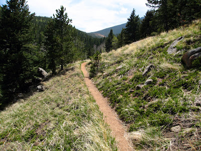
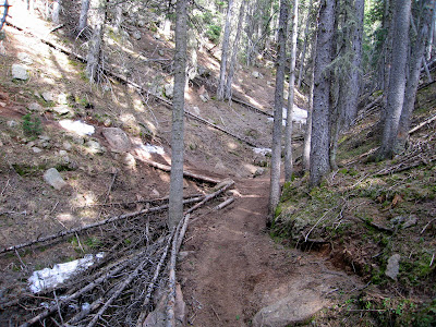
There was still a lot of walking the bike uphill through rock gardens:
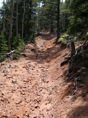
And then it got worse..
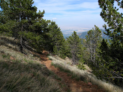
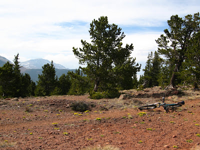
Views were rewarding though..
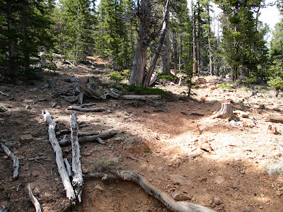
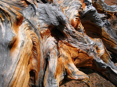
Weird deadfall at the top.. almost 11,000 feet!
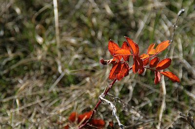
Flowers up there too:
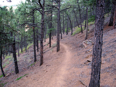
Cool mossy trail on the way down. I think I went through three distinct areas: alpine tundra, decomposed granite and pinyon pine, and evergreen forest with pondarosas.
And some sweet trail for the ending..
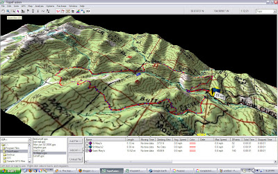
I tried to get a better map, but failed. So here's what it looked like, I think the elevation is pretty good, at least it doesn't exaggerate according to the software..
The end.
There was still a lot of walking the bike uphill through rock gardens:
And then it got worse..
Views were rewarding though..
Weird deadfall at the top.. almost 11,000 feet!
Flowers up there too:
Cool mossy trail on the way down. I think I went through three distinct areas: alpine tundra, decomposed granite and pinyon pine, and evergreen forest with pondarosas.
And some sweet trail for the ending..
I tried to get a better map, but failed. So here's what it looked like, I think the elevation is pretty good, at least it doesn't exaggerate according to the software..
The end.
Comments
It snowed in Bozeman again today.